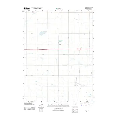
2011 Map of Giltner
USGS Topo · Published 2011About this map
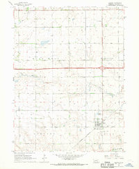
Giltner sits at the heart of this Hamilton County agricultural landscape, serving as a hub for the surrounding township at the start of the 2010s. The village's civic life is centered around the Giltner Post Office, while its heritage is preserved in several nearby burial grounds, including Giltner Cemetery, Saint Josephs Cemetery, and the Lerton Cemetery to the south. The terrain is defined by a grid of rural roads and the winding paths of Beaver Creek and Lincoln Creek. Significant water management is evident through features like the Deepwell Farms Reservoir, Otto Dam, and Hinrichs Reservoir, which support the intensive farming operations of the region. The map also captures the local transportation network, notably the Giltner Spur connecting the community to the wider interstate system, illustrating the enduring connection between Nebraska's small towns and the regional infrastructure.
Find a feature on this map
29 named features on this map. Tap any name to fly to it.
Don’t see what you’re looking for? This feature index may not catch every label — zoom into the map to look around manually.
Map Details
Editions of this 2011 Giltner Map
This is the sole edition of this map. No revisions or reprints were ever made.
Other maps of this area

1892 · Grand Island
USGS Topo · 1:62,500

1895 · Grand Island
USGS Topo · 1:62,500

1898 · Grand Island
USGS Topo · 1:125,000

1955 · Grand Island
USGS Topo · 1:250,000

1957 · Grand Island
USGS Topo · 1:250,000

1958 · Grand Island
USGS Topo · 1:250,000
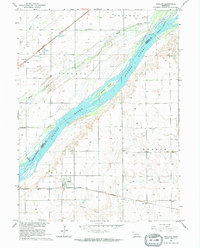
1962 · Phillips
USGS Topo · 1:24,000
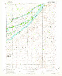
1962 · Doniphan
USGS Topo · 1:24,000
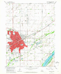
1962 · Grand Island
USGS Topo · 1:24,000
1967 · Giltner
USGS Topo · 1:24,000