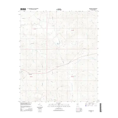
2015 Map of Gin Branch
USGS Topo · Published 2015About this map
Jefferson sits at the western edge of this 2015 landscape, where a dense network of watercourses defines the terrain of Jefferson County. The divide between the N Fork Coles Cr drainage to the north and the Middle Fork Homochitto River to the south shapes the local geography. Numerous small branches like Neigh Br, Puffer Br, and McDonald Br feed into larger creeks, reflecting a deeply dissected territory. Local history is anchored by sites like Dillon Cem and a web of rural routes including Harriston Rd, Ephesus Church Rd, and Perth Rd. The map documents a classic Mississippi pattern of upland drainage where name-bearing streams like Gin Branch and Blue Goose Cr served as the primary landmarks for generations of rural residents.
Find a feature on this map
35 named features on this map. Tap any name to fly to it.
Don’t see what you’re looking for? This feature index may not catch every label — zoom into the map to look around manually.
Map Details
Editions of this 2015 Gin Branch Map
This is the sole edition of this map. No revisions or reprints were ever made.
Other maps of this area
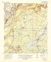
1939 · Lorman
USGS Topo · 1:62,500
1953 · Natchez
USGS Topo · 1:250,000
1956 · Natchez
USGS Topo · 1:250,000
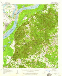
1958 · St. Joseph
USGS Topo · 1:62,500
1959 · Natchez
USGS Topo · 1:250,000
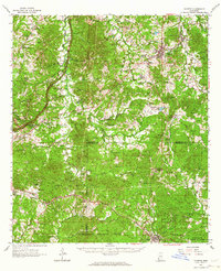
1962 · Fayette
USGS Topo · 1:62,500
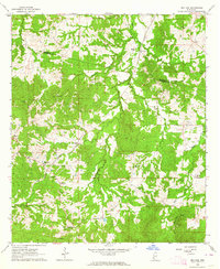
1963 · Red Lick
USGS Topo · 1:24,000
1963 · Union Church
USGS Topo · 1:62,500
1963 · McBride
USGS Topo · 1:24,000
1984 · Natchez
USGS Topo · 1:100,000