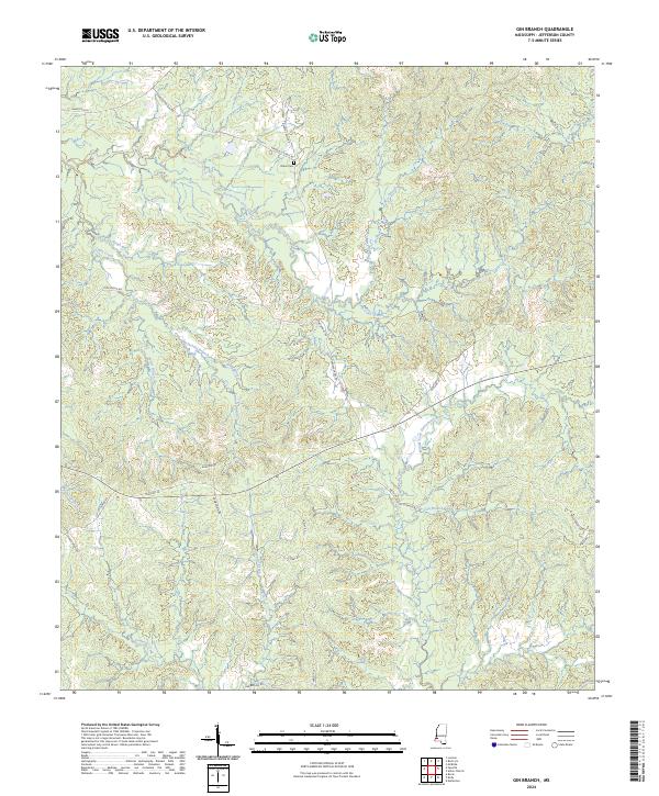
2024 Map of Gin Branch
USGS Topo · Published 2024About this map
The Middle Fork Homochitto River and its numerous tributaries carve through this Jefferson County landscape, creating a complex drainage network typical of southwestern Mississippi's uplands. For genealogists, the Dillon Cem provides a specific point of family history research, located near the intersection of Ephesus Church Rd and Dennis Cross Rd. The terrain is marked by distinct ridges and hollows, where local routes like Chigger Ridge Rd and Winfield Rd follow the topography to connect rural homesteads and agricultural tracts.
Find a feature on this map
35 named features on this map. Tap any name to fly to it.
Don’t see what you’re looking for? This feature index may not catch every label — zoom into the map to look around manually.
Map Details
Editions of this 2024 Gin Branch Map
This is the sole edition of this map. No revisions or reprints were ever made.
Other maps of this area

1939 · Lorman
USGS Topo · 1:62,500

1953 · Natchez
USGS Topo · 1:250,000

1956 · Natchez
USGS Topo · 1:250,000

1958 · St. Joseph
USGS Topo · 1:62,500

1959 · Natchez
USGS Topo · 1:250,000

1962 · Fayette
USGS Topo · 1:62,500

1963 · Red Lick
USGS Topo · 1:24,000

1963 · Union Church
USGS Topo · 1:62,500

1963 · McBride
USGS Topo · 1:24,000
1984 · Natchez
USGS Topo · 1:100,000