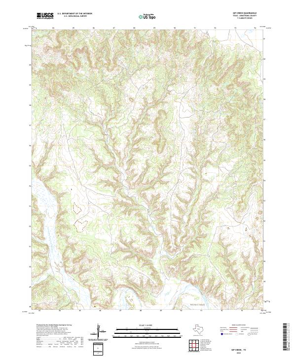
2022 Map of Gip Creek
USGS Topo · Published 2022About this map
Palo Duro Canyon dominates the southern landscape of this Armstrong County region, where the steep breaks of the High Plains drop into the drainage system of the Prairie Dog Town Fork Red River. This modern topographic survey reveals a rugged network of erosional drainages, primarily oriented north-to-south, that feed the river's main channel. Notable watercourses such as Gip Cr, Wagon Cr, and Bull Run illustrate the complex hydrography that has carved the canyon walls over millennia. The lack of named settlements or modern developments across this sheet highlights the persistent isolation of the Texas Panhandle rimrock. Researchers can trace the winding paths of smaller tributaries like Turkey Cr and Deer Cr as they navigate the deep contours of the Caprock, providing an essential record of the natural terrain and water availability in this arid ranching country.
Find a feature on this map
8 named features on this map. Tap any name to fly to it.
Don’t see what you’re looking for? This feature index may not catch every label — zoom into the map to look around manually.
Map Details
Editions of this 2022 Gip Creek Map
This is the sole edition of this map. No revisions or reprints were ever made.
Other maps of this area

1954 · Plainview
USGS Topo · 1:250,000

1958 · Plainview
USGS Topo · 1:250,000

1960 · Indian Peak
USGS Topo · 1:62,500

1963 · Blue Hole Springs
USGS Topo · 1:24,000

1963 · Luttrell Springs
USGS Topo · 1:24,000

1963 · Luttrell Springs NE
USGS Topo · 1:24,000

1963 · Paloduro
USGS Topo · 1:24,000

1963 · Pleasant Creek
USGS Topo · 1:24,000
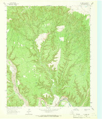
1963 · Gip Creek
USGS Topo · 1:24,000

1965 · Big Betty Reservoir
USGS Topo · 1:24,000