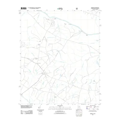
2011 Map of Girard
USGS Topo · Published 2011About this map
The town of Girard serves as the central hub of this Georgia-South Carolina border region, where the Savannah River defines the landscape's character and historical utility. A series of river access points, including Griffins Landing, Buxton Landing, Daniel Landing, Brighams Landing, and Ellisons Landing, trace the waterway's edge, highlighting the river's enduring importance for transport and local commerce. The interior is defined by a dense network of family and community cemeteries, such as Heath Cemetery, Moody Cemetery, Godbee Cemetery, and Bethlehem Cemetery, which offer significant value for genealogical research in Burke County.
Find a feature on this map
59 named features on this map. Tap any name to fly to it.
Don’t see what you’re looking for? This feature index may not catch every label — zoom into the map to look around manually.
Map Details
Editions of this 2011 Girard Map
This is the sole edition of this map. No revisions or reprints were ever made.
Other maps of this area

1920 · Ellenton
USGS Topo · 1:48,000

1920 · Hilltonia
USGS Topo · 1:62,500

1920 · Millen
USGS Topo · 1:62,500

1920 · Greens Cut
USGS Topo · 1:62,500

1921 · Ellenton
USGS Topo · 1:62,500

1943 · Hilltonia
USGS Topo · 1:62,500

1943 · Greens Cut
USGS Topo · 1:62,500

1943 · Millen
USGS Topo · 1:62,500

1943 · Augusta East
USGS Topo · 1:125,000

1943 · Millen
USGS Topo · 1:125,000