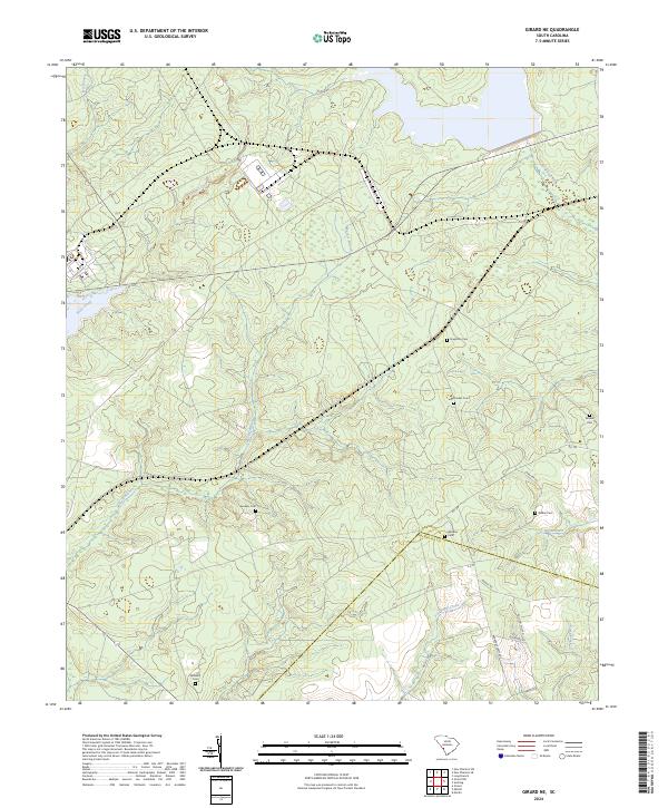
2024 Map of Girard NE
USGS Topo · Published 2024About this map
Steel Creek and Meyers Branch thread through this corner of the South Carolina lowcountry, defining a landscape where family legacy is preserved in small, scattered burial grounds. The transition across the Barnwell and Allendale county line is marked by several genealogical landmarks, including the Singleton Cem, Dunbar Cem, and Sanders Cem. Local transport follows established routes like Millett Rd and Bill Rd, which navigate the various drainage systems of the Lower Three Runs watershed. The area remains dominated by its natural hydrology, with Furse Mill Creek and Big Branch feeding into the larger coastal plain river systems. This modern survey reflects the enduring rural character of the region, where family names like Walker and Williams are still tied to the land via the Walker Cem and Williams Cem.
Find a feature on this map
23 named features on this map. Tap any name to fly to it.
Don’t see what you’re looking for? This feature index may not catch every label — zoom into the map to look around manually.
Map Details
Editions of this 2024 Girard NE Map
This is the sole edition of this map. No revisions or reprints were ever made.
Historical Maps of Barnwell County Through Time
10 maps found

1920 Ellenton
Barnwell County, SC

1921 Ellenton
Barnwell County, SC
1944 Ellenton
Barnwell County, SC
1963 New Ellenton SE
Barnwell County, SC
1964 Girard NE
Barnwell County, SC
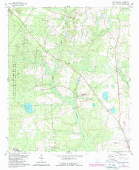
1979 Long Branch
Barnwell County, SC
2024 Girard NE
Barnwell County, SC
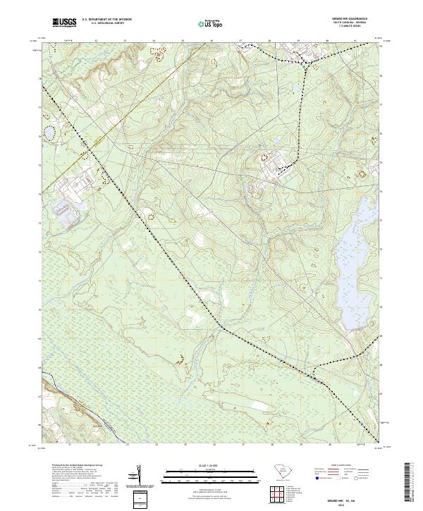
2024 Girard NW
Barnwell County, SC
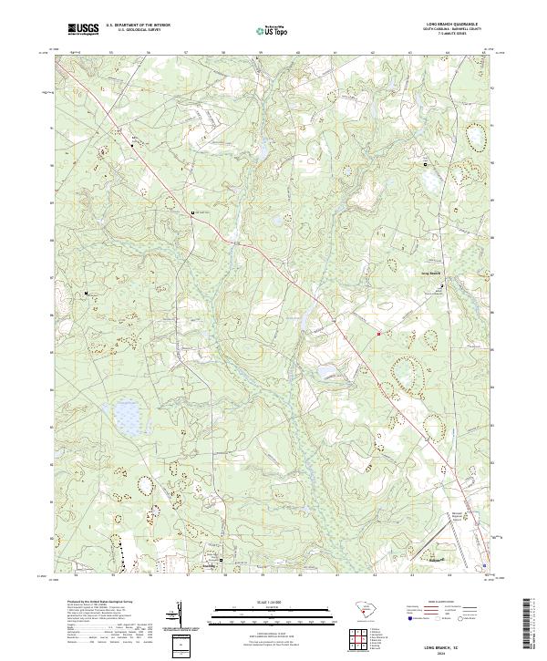
2024 Long Branch
Barnwell County, SC
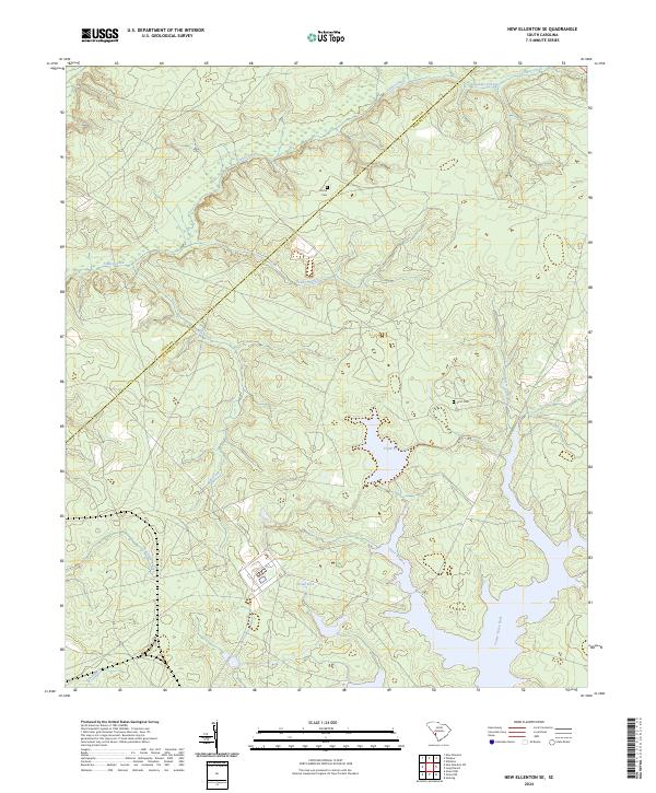
2024 New Ellenton SE
Barnwell County, SC