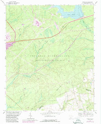
1964 Map of Girard NE
USGS Topo · Published 1989About this map
The Savannah River Plant dominates this mid-1960s landscape, illustrating the cold-war expansion of Department of Energy facilities in South Carolina. The transition of the land is evident in the presence of L Lake and the expansive Par Pond, which contrast with the older rural landmarks that preceded the facility's security boundaries.
Find a feature on this map
21 named features on this map. Tap any name to fly to it.
Don’t see what you’re looking for? This feature index may not catch every label — zoom into the map to look around manually.
Map Details
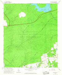
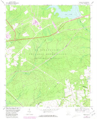
Editions of this 1964 Girard NE Map
3 editions found
Other maps of this area

1919 · Allendale
USGS Topo · 1:62,500

1920 · Ellenton
USGS Topo · 1:48,000

1920 · Talatha
USGS Topo · 1:48,000

1921 · Talatha
USGS Topo · 1:62,500

1921 · Ellenton
USGS Topo · 1:62,500

1923 · Williston
USGS Topo · 1:48,000

1927 · Williston
USGS Topo · 1:62,500

1943 · Allendale
USGS Topo · 1:62,500

1943 · Augusta East
USGS Topo · 1:125,000

1943 · Williston
USGS Topo · 1:62,500