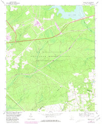
1964 Map of Girard NE
USGS Topo · Published 1981About this map
The U S Reservation Savannah River Plant Department of Energy dominates this landscape on the border of Barnwell and Allendale counties. This industrial and nuclear reservation is defined by its specialized infrastructure, including the U. S. Government Railroad and the expansive Par Pond reservoir system in the north. The terrain is deeply carved by a network of drainage systems such as Steel Creek, Meyers Branch, and Lower Three Runs. Amidst the heavy government footprint, subtle traces of earlier residency remain, most notably at the Walker Cem. The map illustrates the 1960s configuration of the facility, with later revisions highlighting the complex development of road networks and internal firebreaks like the Firebreak trail system. Transport is further facilitated by the Seaboard Coast Line, which skirts the southern edge of the primary reservation area.
Find a feature on this map
16 named features on this map. Tap any name to fly to it.
Don’t see what you’re looking for? This feature index may not catch every label — zoom into the map to look around manually.
Map Details
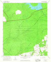
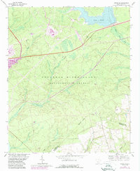
Editions of this 1964 Girard NE Map
3 editions found
Other maps of this area

1919 · Allendale
USGS Topo · 1:62,500

1920 · Ellenton
USGS Topo · 1:48,000

1920 · Talatha
USGS Topo · 1:48,000

1921 · Talatha
USGS Topo · 1:62,500

1921 · Ellenton
USGS Topo · 1:62,500

1923 · Williston
USGS Topo · 1:48,000

1927 · Williston
USGS Topo · 1:62,500

1943 · Allendale
USGS Topo · 1:62,500

1943 · Augusta East
USGS Topo · 1:125,000

1943 · Williston
USGS Topo · 1:62,500