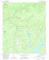
1963 Map of New Ellenton SE
USGS Topo · Published 1989About this map
The Savannah River Plant dominates this South Carolina landscape, reflecting a transformative era of mid-century industrial and energy infrastructure near the Aiken and Barnwell county line. The terrain is defined by an intricate network of managed water systems, including the expansive Par Pond and the smaller Pond B and Pond C, which were engineered to support the facility's operations. Despite the massive industrial presence, older layers of rural habitation remain visible through family landmarks like Dorch Cem and Scott Cem. These small cemeteries and surviving watercourses such as Tinker Creek and Mill Creek provide essential clues for genealogists looking to trace family lands that were absorbed into the federal site. The 1989 revisions highlight changes in woodland cover and infrastructure, such as the Boat Ramp on the lower lakes, documenting the evolving use of this restricted territory.
Find a feature on this map
20 named features on this map. Tap any name to fly to it.
Don’t see what you’re looking for? This feature index may not catch every label — zoom into the map to look around manually.
Map Details
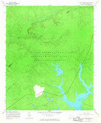
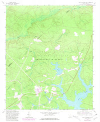
Editions of this 1963 New Ellenton SE Map
3 editions found
Other maps of this area

1919 · Allendale
USGS Topo · 1:62,500

1920 · Ellenton
USGS Topo · 1:48,000

1920 · Talatha
USGS Topo · 1:48,000

1921 · Talatha
USGS Topo · 1:62,500

1921 · Ellenton
USGS Topo · 1:62,500

1923 · Williston
USGS Topo · 1:48,000

1927 · Williston
USGS Topo · 1:62,500

1943 · Allendale
USGS Topo · 1:62,500

1943 · Augusta East
USGS Topo · 1:125,000

1943 · Williston
USGS Topo · 1:62,500