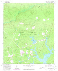
1963 Map of New Ellenton SE
USGS Topo · Published 1981About this map
The Savannah River Plant dominates this South Carolina landscape, as the Department of Energy managed this large-scale industrial reservation during the Cold War era. The terrain is defined by a series of engineered water bodies and natural drainages, most notably the expansive Par Pond and the smaller Pond B, Pond 4, and Pond 5. These reservoirs were part of the facility's cooling system for nuclear production reactors, illustrating the massive environmental engineering required for the site's mission.
Find a feature on this map
16 named features on this map. Tap any name to fly to it.
Don’t see what you’re looking for? This feature index may not catch every label — zoom into the map to look around manually.
Map Details
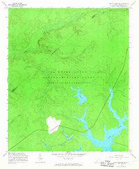
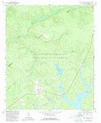
Editions of this 1963 New Ellenton SE Map
3 editions found
Other maps of this area

1919 · Allendale
USGS Topo · 1:62,500

1920 · Ellenton
USGS Topo · 1:48,000

1920 · Talatha
USGS Topo · 1:48,000

1921 · Talatha
USGS Topo · 1:62,500

1921 · Ellenton
USGS Topo · 1:62,500

1923 · Williston
USGS Topo · 1:48,000

1927 · Williston
USGS Topo · 1:62,500

1943 · Allendale
USGS Topo · 1:62,500

1943 · Augusta East
USGS Topo · 1:125,000

1943 · Williston
USGS Topo · 1:62,500