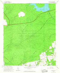
1964 Map of Girard NE
USGS Topo · Published 1967About this map
The U S Reservation Savannah River Plant (Atomic Energy Commission) dominates this mid-1960s landscape, illustrating the cold war industrial footprint in rural South Carolina. This high-security zone replaced earlier settlement patterns, though remnants like the Walker Cem north of the Barnwell Co Allendale Co line remain as markers of the area's pre-atomic history. The terrain is defined by a series of drainages, including Steel Creek, Meyers Branch, and Lower Three Runs, which flow through the heavily managed forest and swamp land toward the Savannah River. A significant portion of the northern area is occupied by Par Pond, a large man-made cooling reservoir created for the facility's operations. The Atlantic Coast Line railroad cuts through the reservation, serving as a vital transportation artery for this specialized industrial complex. This survey captures a moment when traditional county boundaries met the immense physical requirements of nuclear material production.
Find a feature on this map
14 named features on this map. Tap any name to fly to it.
Don’t see what you’re looking for? This feature index may not catch every label — zoom into the map to look around manually.
Map Details
Editions of this 1964 Girard NE Map
3 editions found
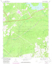
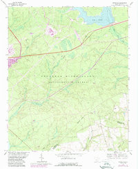
Other maps of this area

1919 · Allendale
USGS Topo · 1:62,500

1920 · Ellenton
USGS Topo · 1:48,000

1920 · Talatha
USGS Topo · 1:48,000

1921 · Talatha
USGS Topo · 1:62,500

1921 · Ellenton
USGS Topo · 1:62,500

1923 · Williston
USGS Topo · 1:48,000

1927 · Williston
USGS Topo · 1:62,500

1943 · Allendale
USGS Topo · 1:62,500

1943 · Augusta East
USGS Topo · 1:125,000

1943 · Williston
USGS Topo · 1:62,500