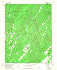
1966 Map of Glace
USGS Topo · Published 1968About this map
Greenbrier State Forest and the George Washington National Forest dominate this mid-1960s landscape, where the ridge-and-valley terrain of the West Virginia-Virginia border creates a series of isolated hollows and mountain settlements. Small communities like Glace and Pedro are connected by narrow roads following drainage patterns through the Brushy Mountain and Middle Mountain ranges. The presence of several country houses of worship, including Hylton Ch near Second Creek and Antioch Ch on the eastern slopes, suggests a scattered but established rural population during this era.
Find a feature on this map
55 named features on this map. Tap any name to fly to it.
Don’t see what you’re looking for? This feature index may not catch every label — zoom into the map to look around manually.
Map Details
Editions of this 1966 Glace Map
2 editions found
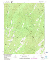
Other maps of this area

1887 · Lewisburg
USGS Topo · 1:125,000

1891 · Lewisburg
USGS Topo · 1:125,000

1921 · Callaghan
USGS Topo · 1:48,000

1921 · White Sulphur Springs
USGS Topo · 1:48,000

1921 · Ronceverte
USGS Topo · 1:48,000

1923 · White Sulphur Springs
USGS Topo · 1:62,500

1923 · Ronceverte
USGS Topo · 1:62,500

1923 · Callaghan
USGS Topo · 1:62,500

1935 · White Sulphur Springs
USGS Topo · 1:62,500

1939 · White Sulphur Springs
USGS Topo · 1:62,500