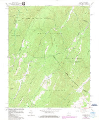
1966 Map of Glace
USGS Topo · Published 1984About this map
Greenbrier State Forest and the peaks of Kates Mountain dominate this mid-century look at the borderlands of Greenbrier and Monroe Counties. In the mid-1960s, the rural community of Glace served as a small hub along Second Creek, while the settlement of Pedro sat near the headwaters of Cove Creek. The landscape is defined by long, parallel ridgelines like Fletcher Ridge and Grindstone Ridge, separated by deep hollows and narrow runs.
Find a feature on this map
53 named features on this map. Tap any name to fly to it.
Don’t see what you’re looking for? This feature index may not catch every label — zoom into the map to look around manually.
Map Details
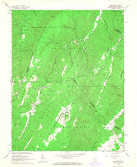
Editions of this 1966 Glace Map
2 editions found
Other maps of this area

1887 · Lewisburg
USGS Topo · 1:125,000

1891 · Lewisburg
USGS Topo · 1:125,000

1921 · Callaghan
USGS Topo · 1:48,000

1921 · White Sulphur Springs
USGS Topo · 1:48,000

1921 · Ronceverte
USGS Topo · 1:48,000

1923 · White Sulphur Springs
USGS Topo · 1:62,500

1923 · Ronceverte
USGS Topo · 1:62,500

1923 · Callaghan
USGS Topo · 1:62,500

1935 · White Sulphur Springs
USGS Topo · 1:62,500

1939 · White Sulphur Springs
USGS Topo · 1:62,500