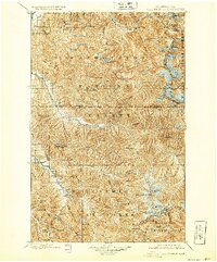
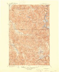
1901 Map of Glacier Peak
USGS Topo · Published 1926About this map
Monte Cristo and Mineral Park stand as isolated outposts in this turn-of-the-century topographic survey of the North Cascades. The map, based on fieldwork conducted by T.G. Gerdine and E.C. Barnard between 1897 and 1899, documents the high-altitude landscape before the establishment of modern infrastructure. This era was defined by mineral exploration, evidenced by the presence of Miner's Ridge and Miner's Dr., where early prospectors navigated the complex drainage systems of the Suiattle River and Sauk River.
Find a feature on this map
92 named features on this map. Tap any name to fly to it.
Don’t see what you’re looking for? This feature index may not catch every label — zoom into the map to look around manually.
Map Details
Editions of this 1901 Glacier Peak Map
6 editions found
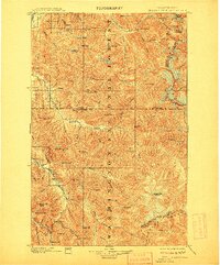
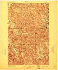
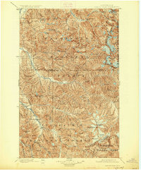
Other maps of this area

1899 · Glacier Peak
USGS Topo · 1:125,000

1899 · Stillaguamish
USGS Topo · 1:125,000

1901 · Glacier Peak
USGS Topo · 1:125,000

1901 · Stilaguamish
USGS Topo · 1:125,000

1901 · Chiwaukum
USGS Topo · 1:125,000

1902 · Skykomish
USGS Topo · 1:125,000

1902 · Stehekin
USGS Topo · 1:125,000

1904 · Stehekin
USGS Topo · 1:125,000

1904 · Chiwaukum
USGS Topo · 1:125,000

1905 · Skykomish
USGS Topo · 1:125,000