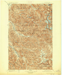
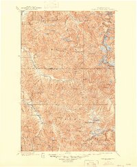
1901 Map of Glacier Peak
USGS Topo · Published 1926About this map
Glacier Peak and its surrounding ice fields dominate this high-altitude survey, which captures the complex alpine environment of the northern Cascades at the turn of the century. The map reflects a landscape defined by the intersection of four major preserves: the Washington National Forest, Chelan National Forest, Snoqualmie National Forest, and Wenatchee National Forest. This era of mapping followed the peak of mining activity in the region, noting the location of Monte Cristo and the outpost of Mineral Park along the North Fork of the Sauk River.
Find a feature on this map
78 named features on this map. Tap any name to fly to it.
Don’t see what you’re looking for? This feature index may not catch every label — zoom into the map to look around manually.
Map Details
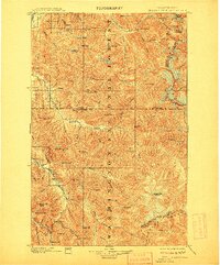
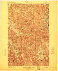
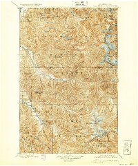
Editions of this 1901 Glacier Peak Map
6 editions found
Other maps of this area

1899 · Glacier Peak
USGS Topo · 1:125,000

1899 · Stillaguamish
USGS Topo · 1:125,000

1901 · Glacier Peak
USGS Topo · 1:125,000

1901 · Stilaguamish
USGS Topo · 1:125,000

1901 · Chiwaukum
USGS Topo · 1:125,000

1902 · Skykomish
USGS Topo · 1:125,000

1902 · Stehekin
USGS Topo · 1:125,000

1904 · Stehekin
USGS Topo · 1:125,000

1904 · Chiwaukum
USGS Topo · 1:125,000

1905 · Skykomish
USGS Topo · 1:125,000