
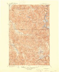
1901 Map of Glacier Peak
USGS Topo · Published 1901About this map
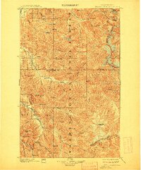
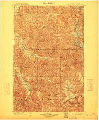
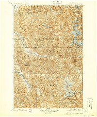
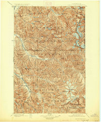
Glacier Peak anchors this early survey, documenting a wilderness of the Northern Cascades within the Washington Forest Reserve at the close of the 19th century. Surveyed between 1897 and 1899, the topography reveals a landscape defined by glacial basins and high alpine passes like Cascade Pass and Burlow Pass. Small outposts such as Gilbert and Stehekin represent the sparse human presence in this region, which was then transitioning into federally managed forest land.
Find a feature on this map
77 named features on this map. Tap any name to fly to it.
Don’t see what you’re looking for? This feature index may not catch every label — zoom into the map to look around manually.
Map Details
Editions of this 1901 Glacier Peak Map
6 editions found
Other maps of this area

1899 · Glacier Peak
USGS Topo · 1:125,000

1899 · Stillaguamish
USGS Topo · 1:125,000

1901 · Stilaguamish
USGS Topo · 1:125,000

1901 · Chiwaukum
USGS Topo · 1:125,000

1902 · Skykomish
USGS Topo · 1:125,000

1902 · Stehekin
USGS Topo · 1:125,000

1904 · Stehekin
USGS Topo · 1:125,000

1904 · Chiwaukum
USGS Topo · 1:125,000

1905 · Skykomish
USGS Topo · 1:125,000

1909 · Mt Baker
USGS Topo · 1:192,000