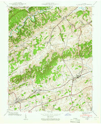
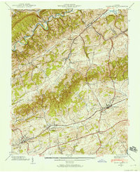
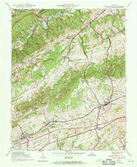
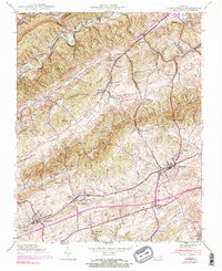
1938 Map of Glade Spring
USGS Topo · Published 1965About this map
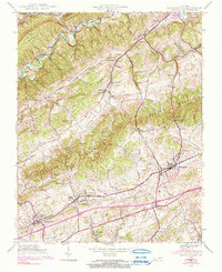
Emory and Henry College stands as a central landmark in this Southwest Virginia landscape, situated along the Norfolk and Western Railway during the late 1930s. The region is defined by the parallel ridges of Tumbling Mountain and Walker Mountain, which separate the fertile reaches of Rich Valley and Poor Valley. This topography shaped the local economy, concentrating settlements like Glade Spring and Meadow View along the rail corridor and valley floors.
Find a feature on this map
70 named features on this map. Tap any name to fly to it.
Don’t see what you’re looking for? This feature index may not catch every label — zoom into the map to look around manually.
Map Details
Editions of this 1938 Glade Spring Map
5 editions found
Other maps of this area

1891 · Abingdon
USGS Topo · 1:125,000

1894 · Abingdon
USGS Topo · 1:125,000

1909 · Abingdon
USGS Topo · 1:96,000

1911 · Abingdon
USGS Topo · 1:125,000

1935 · Konnarock
USGS Topo · 1:24,000

1935 · Chilhowie
USGS Topo · 1:24,000

1935 · Maccrady
USGS Topo · 1:24,000

1935 · Abingdon
USGS Topo · 1:24,000

1935 · Mount Rogers
USGS Topo · 1:48,000

1935 · Saltville
USGS Topo · 1:24,000