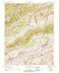
1938 Map of Glade Spring
USGS Topo · Published 1991About this map
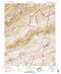
The campus of Emory and Henry College anchors the southwestern portion of this Washington County survey, while the community of Glade Spring serves as a primary hub along the Norfolk and Western Railway. The landscape is dominated by the parallel ridges of Walker Mountain and Chestnut Ridge, framing the fertile agricultural corridor of Rich Valley. Industry and regional infrastructure are evident in the northern reaches at Saltville and Plasterco, where the topography transitions into the Jefferson National Forest.
Find a feature on this map
57 named features on this map. Tap any name to fly to it.
Don’t see what you’re looking for? This feature index may not catch every label — zoom into the map to look around manually.
Map Details
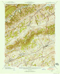
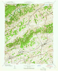
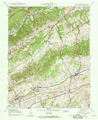
Editions of this 1938 Glade Spring Map
5 editions found
Other maps of this area

1891 · Abingdon
USGS Topo · 1:125,000

1894 · Abingdon
USGS Topo · 1:125,000

1909 · Abingdon
USGS Topo · 1:96,000

1911 · Abingdon
USGS Topo · 1:125,000

1935 · Konnarock
USGS Topo · 1:24,000

1935 · Chilhowie
USGS Topo · 1:24,000

1935 · Maccrady
USGS Topo · 1:24,000

1935 · Abingdon
USGS Topo · 1:24,000

1935 · Mount Rogers
USGS Topo · 1:48,000

1935 · Saltville
USGS Topo · 1:24,000