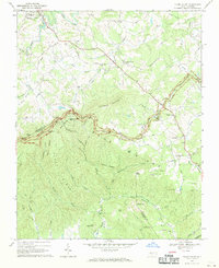
1968 Map of Glade Valley
USGS Topo · Published 1970About this map
Blue Ridge Parkway meanders across the high elevations of the Blue Ridge, connecting several scenic points including Mahogany Rock Overlook and Air Bellows Overlook. This late-1960s survey documents a landscape where the Alleghany and Wilkes county line follows the natural crest, dividing the high plateau of the north from the dramatic slopes of Scott Ridge to the south. The rural character of the region is defined by scattered houses and community anchors like Macedonia Ch and New Salem Ch.
Find a feature on this map
60 named features on this map. Tap any name to fly to it.
Don’t see what you’re looking for? This feature index may not catch every label — zoom into the map to look around manually.
Map Details
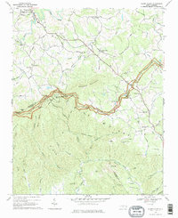
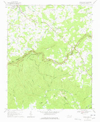
Editions of this 1968 Glade Valley Map
3 editions found
Other maps of this area

1889 · Hillsville
USGS Topo · 1:125,000

1889 · Wytheville
USGS Topo · 1:125,000

1889 · Wilkesboro
USGS Topo · 1:125,000

1891 · Wilkesboro
USGS Topo · 1:125,000

1891 · Yadkinville
USGS Topo · 1:125,000

1892 · Hillsville
USGS Topo · 1:125,000

1892 · Wytheville
USGS Topo · 1:125,000

1893 · Yadkinville
USGS Topo · 1:125,000

1896 · Hillsville
USGS Topo · 1:125,000

1930 · Independence
USGS Topo · 1:48,000