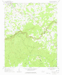
1968 Map of Glade Valley
USGS Topo · Published 1978About this map
The Blue Ridge Parkway defines the high-country landscape of the Blue Ridge in the late 1960s, winding across the crest of Bullhead Mountain and past prominent outlooks such as Mahogany Rock Overlook and Air Bellows Overlook. This survey captures a rural Appalachian economy transitioning toward recreation and conservation, evidenced by the proximity of Little Glade Millpond to established camps like Camp Cheerio and Camp Albert Butler. To the north, the terrain softens into the agricultural basins of the Little River and Glade Creek, where small crossroads like Glade Valley and Cherry Lane are anchored by local congregations at Macedonia Ch and Laura Glenn Ch. An intriguing Aerial Tramway near Deep Gap suggests specialized land use or transport in the steep Devils Garden Creek area, while the boundary between Alleghany and Wilkes counties follows the natural ridgeline.
Find a feature on this map
69 named features on this map. Tap any name to fly to it.
Don’t see what you’re looking for? This feature index may not catch every label — zoom into the map to look around manually.
Map Details
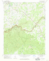
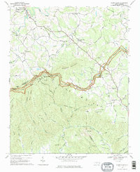
Editions of this 1968 Glade Valley Map
3 editions found
Other maps of this area

1889 · Hillsville
USGS Topo · 1:125,000

1889 · Wytheville
USGS Topo · 1:125,000

1889 · Wilkesboro
USGS Topo · 1:125,000

1891 · Wilkesboro
USGS Topo · 1:125,000

1891 · Yadkinville
USGS Topo · 1:125,000

1892 · Hillsville
USGS Topo · 1:125,000

1892 · Wytheville
USGS Topo · 1:125,000

1893 · Yadkinville
USGS Topo · 1:125,000

1896 · Hillsville
USGS Topo · 1:125,000

1930 · Independence
USGS Topo · 1:48,000