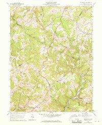
1960 Map of Gladesville
USGS Topo · Published 1970About this map
Booths Creek and Whiteday Creek carve through this section of the West Virginia highlands where the borders of Monongalia, Preston, Marion, and Taylor Counties meet. Small agricultural and mining communities like Halleck and Gladesville are connected by a network of winding roads, including the Wickwire Road. The landscape is dotted with family-named landmarks and rural institutions that offer significant value for genealogical research, such as the Haymond Sch, McConkey Ch, and numerous small burial grounds like Moran Cem and Rogers Cem.
Find a feature on this map
67 named features on this map. Tap any name to fly to it.
Don’t see what you’re looking for? This feature index may not catch every label — zoom into the map to look around manually.
Map Details
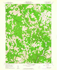
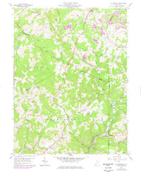
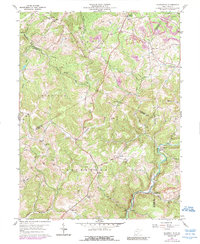
Editions of this 1960 Gladesville Map
4 editions found
Other maps of this area

1886 · St. George
USGS Topo · 1:125,000

1891 · St. George
USGS Topo · 1:125,000

1902 · Fairmont
USGS Topo · 1:62,500

1902 · Morgantown
USGS Topo · 1:62,500

1904 · Blacksville
USGS Topo · 1:62,500

1907 · Thornton
USGS Topo · 1:62,500

1923 · Blacksville
USGS Topo · 1:62,500

1923 · Fairmont
USGS Topo · 1:62,500

1925 · Blacksville
USGS Topo · 1:62,500

1925 · Morgantown
USGS Topo · 1:62,500