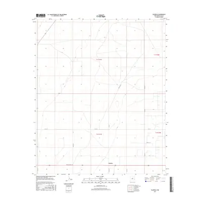
2017 Map of Gladiola
USGS Topo · Published 2017About this map
The high plains of Lea County are defined by a rhythmic grid of ranch roads and township boundaries in this 2017 survey. The small settlement of Gladiola serves as the focal point for a landscape dominated by the livestock and energy industries of eastern New Mexico. The map reveals a network of localized transit routes, including Breckon Ranch Ln and B Ranch, which provide access to the expansive grazing lands characteristic of the Llano Estacado.
Find a feature on this map
23 named features on this map. Tap any name to fly to it.
Don’t see what you’re looking for? This feature index may not catch every label — zoom into the map to look around manually.
Map Details
Editions of this 2017 Gladiola Map
This is the sole edition of this map. No revisions or reprints were ever made.
Other maps of this area

1954 · Brownfield
USGS Topo · 1:250,000

1958 · Brownfield
USGS Topo · 1:250,000

1962 · Brownfield
USGS Topo · 1:250,000
1970 · Prairieview NE
USGS Topo · 1:24,000
1970 · Bronco NE
USGS Topo · 1:24,000
1970 · Prairieview NW
USGS Topo · 1:24,000
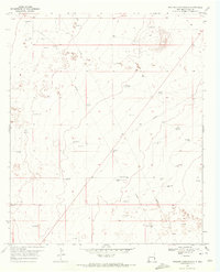
1970 · Walking Cane Ranch
USGS Topo · 1:24,000
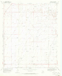
1970 · Gladiola
USGS Topo · 1:24,000
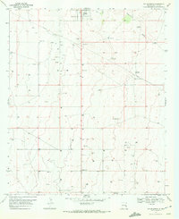
1970 · Tatum South
USGS Topo · 1:24,000
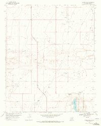
1970 · Ranger Lake
USGS Topo · 1:24,000