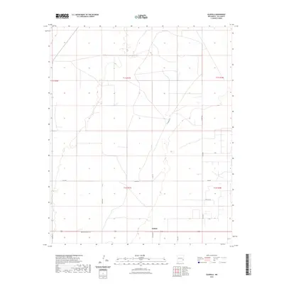
2023 Map of Gladiola
USGS Topo · Published 2023About this map
Gladiola sits at the heart of this corner of the High Plains, where the grid of the Public Land Survey System meets the practical network of New Mexico ranch roads. The landscape is defined by its agricultural and ranching infrastructure, featuring numerous section lines and named routes like Simpson Rd and Shults Rd that navigate the open terrain. This survey details the intersection of several townships, including t11s r37e and t12s r38e, reflecting the organized expansion of Lea County. The presence of specialized markers such as Beverta T167 and local thoroughfares like Breckon Ranch Ln provides a precise view of local land use and family-named landmarks in a region traditionally dominated by livestock and energy interests.
Find a feature on this map
22 named features on this map. Tap any name to fly to it.
Don’t see what you’re looking for? This feature index may not catch every label — zoom into the map to look around manually.
Map Details
Editions of this 2023 Gladiola Map
This is the sole edition of this map. No revisions or reprints were ever made.
Other maps of this area

1954 · Brownfield
USGS Topo · 1:250,000

1958 · Brownfield
USGS Topo · 1:250,000

1962 · Brownfield
USGS Topo · 1:250,000

1970 · Prairieview NE
USGS Topo · 1:24,000

1970 · Bronco NE
USGS Topo · 1:24,000

1970 · Prairieview NW
USGS Topo · 1:24,000

1970 · Walking Cane Ranch
USGS Topo · 1:24,000

1970 · Gladiola
USGS Topo · 1:24,000

1970 · Tatum South
USGS Topo · 1:24,000

1970 · Ranger Lake
USGS Topo · 1:24,000