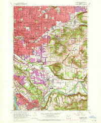
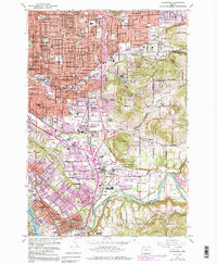
1961 Map of Gladstone
USGS Topo · Published 1972About this map
The suburban expansion of southeast Portland and northern Clackamas County is documented here during a period of significant post-war growth. Residential neighborhoods like Arleta, Woodstock, and Eastmoreland show a dense grid of streets and numerous parochial and public schools, including St Ignatius Sch and Kellogg Sch. To the south, the landscape transitions from these established city blocks into the more open, hilly terrain surrounding Mount Scott and Mount Talbert. The presence of the Willamette National Cemetery and Gethsemani Cemetery underscores the importance of the volcanic buttes for regional planning and land use. Industrial and logistical activity is concentrated along the Portland Traction Co and Southern Pacific rail lines, which connect the core of Milwaukie and Gladstone with the broader metro area. The map also records the institutional presence of Camp Withycombe near Clackamas, serving as a key military landmark amidst the developing residential valleys.
Find a feature on this map
74 named features on this map. Tap any name to fly to it.
Don’t see what you’re looking for? This feature index may not catch every label — zoom into the map to look around manually.
Map Details
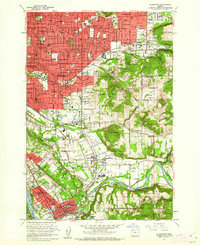
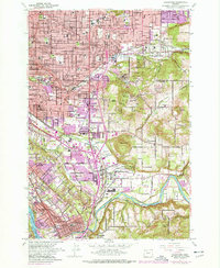
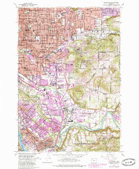
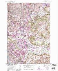
Editions of this 1961 Gladstone Map
6 editions found
Other maps of this area

1897 · Portland
USGS Topo · 1:62,500

1905 · Portland
USGS Topo · 1:62,500

1911 · Boring
USGS Topo · 1:48,000

1914 · Boring
USGS Topo · 1:62,500

1914 · Oregon City
USGS Topo · 1:62,500

1916 · Estacada
USGS Topo · 1:125,000

1918 · Troutdale
USGS Topo · 1:62,500

1934 · Troutdale
USGS Topo · 1:48,000

1939 · Oregon City
USGS Topo · 1:62,500

1940 · Boring
USGS Topo · 1:62,500