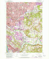
1961 Map of Gladstone
USGS Topo · Published 1977About this map
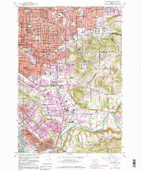
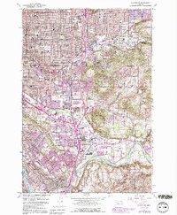
The Clackamas River flows toward its confluence with the Willamette River, anchoring a landscape of rapid mid-century expansion south of Portland. This survey, updated with purple photorevisions from the 1970s, captures the densifying residential and industrial patterns of Gladstone, Milwaukie, and Jennings Lodge. The transportation infrastructure is particularly prominent, featuring the Southern Pacific and Portland Traction Co rail lines, alongside the strategic presence of Camp Withycombe.
Find a feature on this map
76 named features on this map. Tap any name to fly to it.
Don’t see what you’re looking for? This feature index may not catch every label — zoom into the map to look around manually.
Map Details
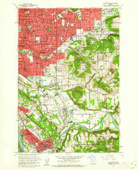
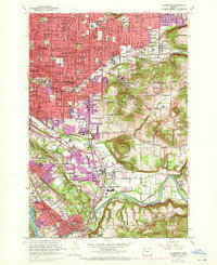
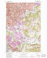
Editions of this 1961 Gladstone Map
6 editions found
Other maps of this area

1897 · Portland
USGS Topo · 1:62,500

1905 · Portland
USGS Topo · 1:62,500

1911 · Boring
USGS Topo · 1:48,000

1914 · Boring
USGS Topo · 1:62,500

1914 · Oregon City
USGS Topo · 1:62,500

1916 · Estacada
USGS Topo · 1:125,000

1918 · Troutdale
USGS Topo · 1:62,500

1934 · Troutdale
USGS Topo · 1:48,000

1939 · Oregon City
USGS Topo · 1:62,500

1940 · Boring
USGS Topo · 1:62,500