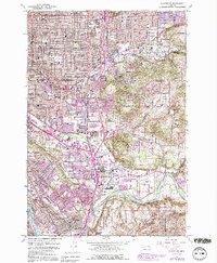
1961 Map of Gladstone
USGS Topo · Published 1991About this map
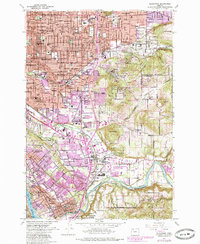
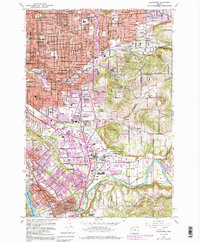
Willamette National Cem and Lincoln Memorial Park Cem anchor the slopes of Mount Scott, overlooking a rapidly suburbanizing landscape where Portland meets its southern neighbors. The southeastern expansion of the metro area is evident in the residential grids of Arleta, Lents, and Woodstock, while the industrial and military presence is solidified at Camp Withycombe. The Clackamas River carves the southern boundary, flowing past Gladstone and Park Place toward its confluence with the Willamette River. The map captures the transportation network of the early 1960s, including the Portland Traction Co rail lines and the established corridors of SE Powell Blvd and SE 82d Ave, reflecting a period when small communities like Sunnyside and Harmony were being integrated into the broader urban fabric.
Find a feature on this map
110 named features on this map. Tap any name to fly to it.
Don’t see what you’re looking for? This feature index may not catch every label — zoom into the map to look around manually.
Map Details
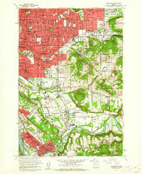
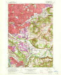
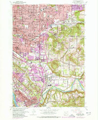
Editions of this 1961 Gladstone Map
6 editions found
Other maps of this area

1897 · Portland
USGS Topo · 1:62,500

1905 · Portland
USGS Topo · 1:62,500

1911 · Boring
USGS Topo · 1:48,000

1914 · Boring
USGS Topo · 1:62,500

1914 · Oregon City
USGS Topo · 1:62,500

1916 · Estacada
USGS Topo · 1:125,000

1918 · Troutdale
USGS Topo · 1:62,500

1934 · Troutdale
USGS Topo · 1:48,000

1939 · Oregon City
USGS Topo · 1:62,500

1940 · Boring
USGS Topo · 1:62,500