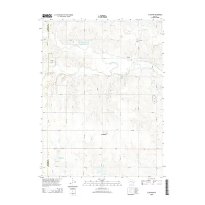
2014 Map of Gladstone
USGS Topo · Published 2014About this map
Gladstone and Powell sit amidst a network of riparian corridors and agricultural land in southeastern Nebraska. The Little Blue River winds through the center of the landscape, joined by tributaries including Big Sandy Creek and Little Sandy Cr. This drainage system is punctuated by several water management features, including Alexandria Reservoir and Powell Reservoir, alongside specialized basins like Buckley Cr Reservoir 3-C and Buckley Cr Reservoir 4-A.
Find a feature on this map
30 named features on this map. Tap any name to fly to it.
Don’t see what you’re looking for? This feature index may not catch every label — zoom into the map to look around manually.
Map Details
Editions of this 2014 Gladstone Map
This is the sole edition of this map. No revisions or reprints were ever made.
Other maps of this area

1955 · Lincoln
USGS Topo · 1:250,000

1957 · Lincoln
USGS Topo · 1:250,000

1958 · Lincoln
USGS Topo · 1:250,000

1960 · Fairbury SW
USGS Topo · 1:24,000

1960 · Reynolds
USGS Topo · 1:24,000

1960 · Hubbell
USGS Topo · 1:24,000

1960 · Western SW
USGS Topo · 1:24,000

1960 · Fairbury
USGS Topo · 1:24,000

1960 · Tobias SW
USGS Topo · 1:24,000

1960 · Alexandria
USGS Topo · 1:24,000