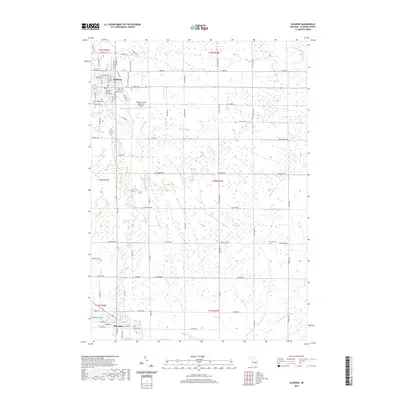
2019 Map of Gladwin
USGS Topo · Published 2019About this map
Gladwin serves as the focal point of this Gladwin County landscape, situated where the Little Tobacco River and Cedar River converge near the Gladwin County Courthouse. The map reveals a highly structured drainage network essential to the region's agricultural and civil development, featuring numerous named waterways such as Larrabee Cr, Dow Cr, and Venison Cr. This late 2010s survey captures the spatial relationship between the county seat and Beaverton to the south, which sits along the shores of Ross Lake and the Tobacco River.
Find a feature on this map
64 named features on this map. Tap any name to fly to it.
Don’t see what you’re looking for? This feature index may not catch every label — zoom into the map to look around manually.
Map Details
Editions of this 2019 Gladwin Map
This is the sole edition of this map. No revisions or reprints were ever made.
Other maps of this area
1954 · Traverse City
USGS Topo · 1:250,000
1954 · Midland
USGS Topo · 1:250,000
1958 · Traverse City
USGS Topo · 1:250,000
1958 · Midland
USGS Topo · 1:250,000
1959 · Midland
USGS Topo · 1:250,000
1966 · Midland
USGS Topo · 1:250,000
1969 · Wagarville
USGS Topo · 1:24,000
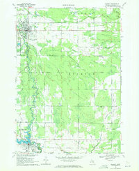
1969 · Gladwin
USGS Topo · 1:24,000
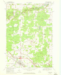
1969 · Coleman
USGS Topo · 1:24,000
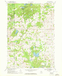
1969 · Skeels
USGS Topo · 1:24,000