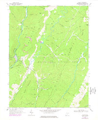
1968 Map of Glady
USGS Topo · Published 1977About this map
The Western Maryland railroad corridor defines the western edge of this West Virginia landscape, following the winding course of Shavers Fork through the high mountain country. Small settlements like Bemus and Glady are tucked into the narrow valleys, where local life centered around the rail line and timber resources of the Monongahela National Forest. The map documents a rugged extractive economy, showing a strip mine and several other mines along the slopes of Beverly Mountain, alongside an emerging energy infrastructure marked by numerous gas wells and a Compressor Station. To the east, the terrain rises toward peaks such as Spruce Knob, while the intricate drainage patterns of Glady Fork and Middle Fork carve deep ridges across the quadrangle, including Zinn Ridge and Frazier Ridge.
Find a feature on this map
55 named features on this map. Tap any name to fly to it.
Don’t see what you’re looking for? This feature index may not catch every label — zoom into the map to look around manually.
Map Details
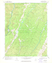
Editions of this 1968 Glady Map
2 editions found
Other maps of this area

1889 · Beverly
USGS Topo · 1:125,000

1892 · Beverly
USGS Topo · 1:125,000

1909 · Elkins
USGS Topo · 1:62,500

1922 · Horton
USGS Topo · 1:48,000

1922 · Spruce Knob
USGS Topo · 1:48,000

1922 · Durbin
USGS Topo · 1:48,000

1924 · Durbin
USGS Topo · 1:62,500

1924 · Horton
USGS Topo · 1:62,500

1924 · Spruce Knob
USGS Topo · 1:62,500

1949 · Charlottesville
USGS Topo · 1:250,000