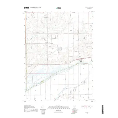
2021 Map of Glasford
USGS Topo · Published 2021About this map
The Illinois River corridor in southern Peoria County defines this landscape, where the floodplains of the Banner Marsh Wildlife Preserve Rd meet the bluff-top settlements of Glasford and Lancaster. This survey documents a region defined by its relationship to the water, from the industrial character of Kingston Mines to the complex network of backwaters including Ferry Lake Slough, Brown Slough, and Redbird Slough.
Find a feature on this map
97 named features on this map. Tap any name to fly to it.
Don’t see what you’re looking for? This feature index may not catch every label — zoom into the map to look around manually.
Map Details
Editions of this 2021 Glasford Map
This is the sole edition of this map. No revisions or reprints were ever made.
Other maps of this area

1905 · Peoria
USGS Topo · 1:62,500

1927 · Peoria
USGS Topo · 1:62,500

1929 · Manito
USGS Topo · 1:62,500

1930 · Glasford
USGS Topo · 1:62,500

1932 · Manito
USGS Topo · 1:62,500

1942 · Delavan
USGS Topo · 1:62,500

1948 · Glasford
USGS Topo · 1:62,500

1949 · Peoria West
USGS Topo · 1:24,000

1950 · Peoria West
USGS Topo · 1:24,000

1958 · Peoria
USGS Topo · 1:250,000