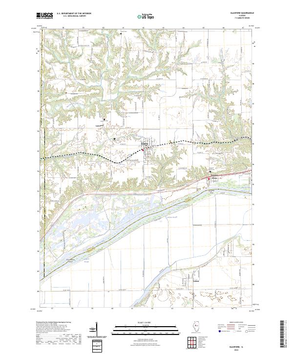
2024 Map of Glasford
USGS Topo · Published 2024About this map
The Illinois River corridor dominates this survey of the Peoria County region, defining a landscape of complex waterways and alluvial lowlands. This riverine environment is marked by features like Ferry Lake Slough, Brown Slough, and Coon Hollow Island, showing the intricate drainage patterns of the valley. Industrial and community history are closely linked at Kingston Mines, where the namesake town and Kingston Mines Cem overlook Kingston Lake.
Find a feature on this map
99 named features on this map. Tap any name to fly to it.
Don’t see what you’re looking for? This feature index may not catch every label — zoom into the map to look around manually.
Map Details
Editions of this 2024 Glasford Map
This is the sole edition of this map. No revisions or reprints were ever made.
Other maps of this area

1905 · Peoria
USGS Topo · 1:62,500

1927 · Peoria
USGS Topo · 1:62,500

1929 · Manito
USGS Topo · 1:62,500

1930 · Glasford
USGS Topo · 1:62,500

1932 · Manito
USGS Topo · 1:62,500

1942 · Delavan
USGS Topo · 1:62,500

1948 · Glasford
USGS Topo · 1:62,500

1949 · Peoria West
USGS Topo · 1:24,000

1950 · Peoria West
USGS Topo · 1:24,000

1958 · Peoria
USGS Topo · 1:250,000