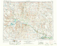
1954 Map of Glasgow
USGS Topo · Published 1967About this map
The Milk River valley serves as the primary artery of development in this mid-century survey of northeastern Montana. Following the corridor of the Great Northern railroad, a chain of rural trade centers including Saco, Hinsdale, and Vandalia line the tracks, reflecting the importance of the rail-and-river economy to the region's agricultural life. To the south, the Missouri River is anchored by the massive works at Fort Peck, while the northern frontier reaches toward the United States-Canada border near Opheim.
Find a feature on this map
82 named features on this map. Tap any name to fly to it.
Don’t see what you’re looking for? This feature index may not catch every label — zoom into the map to look around manually.
Map Details
Editions of this 1954 Glasgow Map
2 editions found
Other maps of this area
1905 · Bowdoin
USGS Topo · 1:62,500
1905 · Saco Special
USGS Topo · 1:62,500
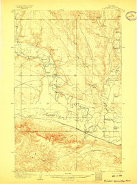
1906 · Hinsdale Special Map
USGS Topo · 1:62,500
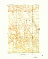
1910 · Todd Lakes
USGS Topo · 1:62,500
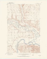
1914 · Nashua
USGS Topo · 1:62,500
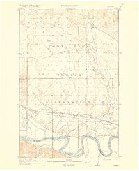
1915 · Frazer
USGS Topo · 1:62,500
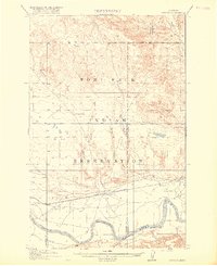
1915 · Oswego
USGS Topo · 1:62,500
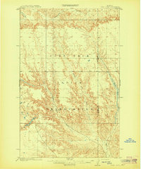
1915 · Todd Lakes
USGS Topo · 1:62,500
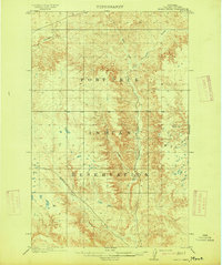
1915 · Spring Creek
USGS Topo · 1:62,500
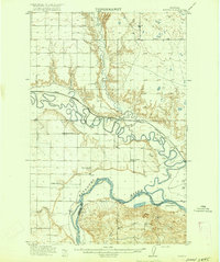
1916 · Nashua
USGS Topo · 1:62,500