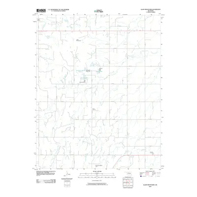
2009 Map of Glass Mountains
USGS Topo · Published 2009About this map
The Glass Mountains rise above the plains of Major County, Oklahoma, defining a landscape of mesas and buttes in a region dominated by agricultural section lines and seasonal drainage systems. This 2009 survey captures the rural character of the area, where the road network follows a strict grid of numeric routes like n2490 RD and e0490 RD. The presence of Cheyenne Valley Cemetery, Roscoe Cemetery, and Fairview Cemetery provides critical anchors for genealogists, marking the enduring locations of local community hubs amidst the shifting prairie.
Find a feature on this map
32 named features on this map. Tap any name to fly to it.
Don’t see what you’re looking for? This feature index may not catch every label — zoom into the map to look around manually.
Map Details
Editions of this 2009 Glass Mountains Map
This is the sole edition of this map. No revisions or reprints were ever made.
Other maps of this area

1955 · Woodward
USGS Topo · 1:250,000

1958 · Woodward
USGS Topo · 1:250,000

1969 · Glass Mountains NW
USGS Topo · 1:24,000

1969 · Glass Mountains
USGS Topo · 1:24,000

1969 · Fairview
USGS Topo · 1:24,000

1969 · Cleo Springs
USGS Topo · 1:24,000

1969 · Glass Mountains NE
USGS Topo · 1:24,000

1969 · Glass Mountains SW
USGS Topo · 1:24,000

1972 · Longdale
USGS Topo · 1:24,000

1972 · Canton NW
USGS Topo · 1:24,000