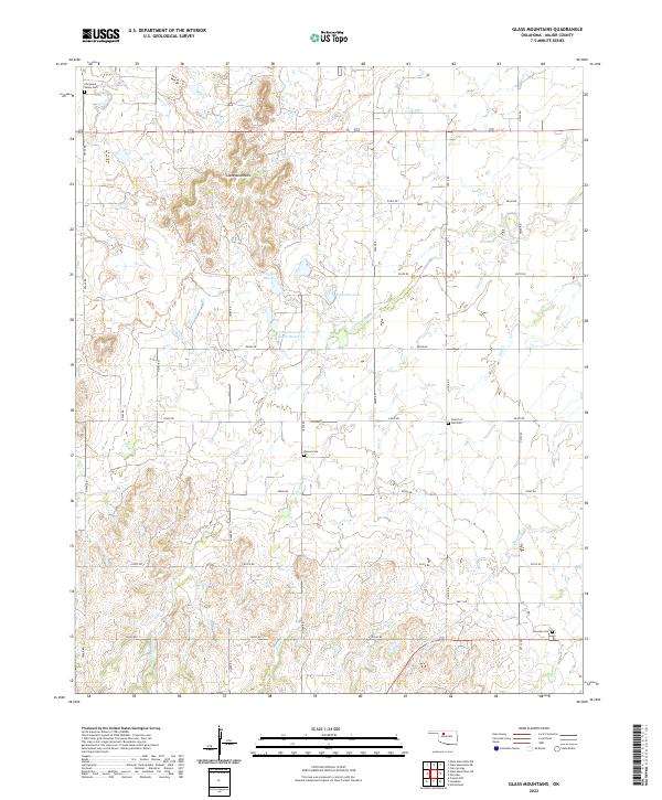
2022 Map of Glass Mountains
USGS Topo · Published 2022About this map
The Glass Mountains dominate the northwestern horizon of this Major County landscape, their distinct mesas rising above the drainage basins of Cottonwood Cr and Skunk Cr. This modern survey reveals a highly organized rural grid, where the Public Land Survey System township lines for t22n r13w and surrounding areas dictate the placement of local roads like n2480 RD. The territory is dotted with essential community markers, particularly its burial grounds such as Cheyenne Valley Cem and the Church of God Cem. Water management is central to the area's geography, evidenced by several man-made features including Edwards Lake and the uniquely named Eel Twin Lakes South Reservoir. These reservoirs and the seasonal flow of Gypsum Cr support the agricultural character of this northwestern Oklahoma prairie region.
Find a feature on this map
36 named features on this map. Tap any name to fly to it.
Don’t see what you’re looking for? This feature index may not catch every label — zoom into the map to look around manually.
Map Details
Editions of this 2022 Glass Mountains Map
This is the sole edition of this map. No revisions or reprints were ever made.
Other maps of this area

1955 · Woodward
USGS Topo · 1:250,000

1958 · Woodward
USGS Topo · 1:250,000

1969 · Glass Mountains NW
USGS Topo · 1:24,000

1969 · Glass Mountains
USGS Topo · 1:24,000

1969 · Fairview
USGS Topo · 1:24,000

1969 · Cleo Springs
USGS Topo · 1:24,000

1969 · Glass Mountains NE
USGS Topo · 1:24,000

1969 · Glass Mountains SW
USGS Topo · 1:24,000

1972 · Longdale
USGS Topo · 1:24,000

1972 · Canton NW
USGS Topo · 1:24,000