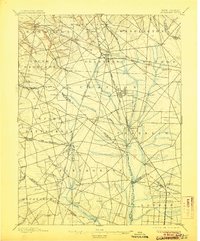
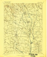
1898 Map of Glassboro
USGS Topo · Published 1906About this map
Glassboro serves as a central hub for Southern New Jersey commerce during the late nineteenth century, defined by a dense convergence of railroads. The West Jersey and Seashore R. R. and the Atlantic City R. R. cut across the landscape, connecting rural farming communities like Mullica Hill and Clayton to larger regional markets. Small stations and crossroads settlements such as Jefferson Sta., Sherwin, and Aura show the transition from agricultural land to rail-oriented development.
Find a feature on this map
92 named features on this map. Tap any name to fly to it.
Don’t see what you’re looking for? This feature index may not catch every label — zoom into the map to look around manually.
Map Details
Editions of this 1898 Glassboro Map
6 editions found

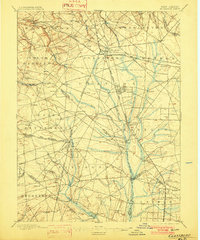
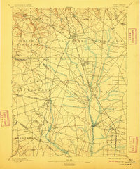
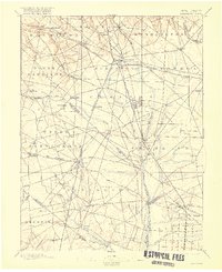
Other maps of this area

1888 · Mount Holly
USGS Topo · 1:62,500

1890 · Hammonton
USGS Topo · 1:62,500

1890 · Salem
USGS Topo · 1:62,500

1890 · Tuckahoe
USGS Topo · 1:62,500

1890 · Bay Side
USGS Topo · 1:62,500

1890 · Bridgeton
USGS Topo · 1:62,500

1890 · Glassboro
USGS Topo · 1:62,500

1891 · Philadelphia
USGS Topo · 1:62,500

1893 · Tuckahoe
USGS Topo · 1:62,500

1894 · Bay Side
USGS Topo · 1:62,500