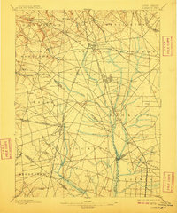
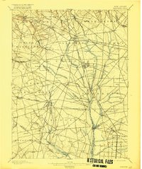
1898 Map of Glassboro
USGS Topo · Published 1910About this map
Glassboro and its surrounding townships in Gloucester County serve as the focal point for this late nineteenth-century topographic study. The landscape is defined by a dense radial network of railroads, reflecting the region's importance as a transportation hub for glass manufacturing and agricultural trade. Lines such as the West Jersey and Seashore R. R. and the Atlantic City R. R. connect established glass-making centers like Clayton and Elmer with smaller crossroads like Aura and Monroeville.
Find a feature on this map
93 named features on this map. Tap any name to fly to it.
Don’t see what you’re looking for? This feature index may not catch every label — zoom into the map to look around manually.
Map Details
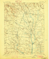
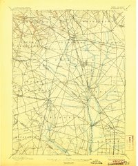
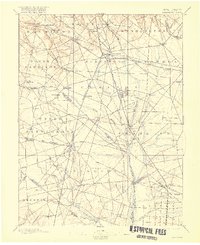
Editions of this 1898 Glassboro Map
6 editions found

Other maps of this area

1888 · Mount Holly
USGS Topo · 1:62,500

1890 · Hammonton
USGS Topo · 1:62,500

1890 · Salem
USGS Topo · 1:62,500

1890 · Tuckahoe
USGS Topo · 1:62,500

1890 · Bay Side
USGS Topo · 1:62,500

1890 · Bridgeton
USGS Topo · 1:62,500

1890 · Glassboro
USGS Topo · 1:62,500

1891 · Philadelphia
USGS Topo · 1:62,500

1893 · Tuckahoe
USGS Topo · 1:62,500

1894 · Bay Side
USGS Topo · 1:62,500