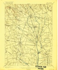
1898 Map of Glassboro
USGS Topo · Published 1916About this map
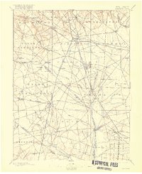
The agricultural and industrial centers of Gloucester and Salem counties come into focus in this late 19th-century survey, which documents the extensive rail network connecting these South Jersey communities. Glassboro and Clayton serve as primary hubs, their street grids clearly defined alongside the West Jersey and Seashore RR and the Atlantic City RR. The geography is shaped by the headwaters of the Maurice River, Raccoon Creek, and Mantua Creek, which historically supported the region's early milling and glassmaking industries. Genealogists can locate small hamlets and stopping points like Ferrell, Richwood, and Monroeville, or find established settlements such as Mullica Hill and Elmer. The map preserves the exact alignment of county boundary lines and early roads before the expansion of modern highways, showing the layout of numerous small farms and rural estates that characterized the region during this era of growth.
Find a feature on this map
90 named features on this map. Tap any name to fly to it.
Don’t see what you’re looking for? This feature index may not catch every label — zoom into the map to look around manually.
Map Details
Editions of this 1898 Glassboro Map
6 editions found

Other maps of this area

1888 · Mount Holly
USGS Topo · 1:62,500

1890 · Hammonton
USGS Topo · 1:62,500

1890 · Salem
USGS Topo · 1:62,500

1890 · Tuckahoe
USGS Topo · 1:62,500

1890 · Bay Side
USGS Topo · 1:62,500

1890 · Bridgeton
USGS Topo · 1:62,500

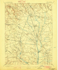
1890 · Glassboro
USGS Topo · 1:62,500

1891 · Philadelphia
USGS Topo · 1:62,500

1893 · Tuckahoe
USGS Topo · 1:62,500

1894 · Bay Side
USGS Topo · 1:62,500