
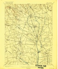
1898 Map of Glassboro
USGS Topo · Published 1898About this map
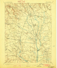
The West Jersey and Seashore R. R. serves as the industrial backbone of this Southern New Jersey landscape, radiating from Glassboro and Clayton during a period of significant agricultural and glass-making growth. Surveyed in 1886 by C.C. Vermeule, the map captures the transition from small farming hamlets to rail-dependent shipping hubs. Small family-named settlements like Mullica Hill, Hardingville, and Richwood are shown alongside critical water resources such as the Maurice River and Raccoon Creek. The geography reveals a highly organized township structure, where boundary lines for Pittsgrove, Franklin, and Mantua define the political landscape. Researchers can trace the development of localized stations such as Jefferson Sta. and Monroeville, reflecting the era's reliance on the West Jersey and Seashore lines for transport and commerce before the expansion of modern highways.
Find a feature on this map
89 named features on this map. Tap any name to fly to it.
Don’t see what you’re looking for? This feature index may not catch every label — zoom into the map to look around manually.
Map Details
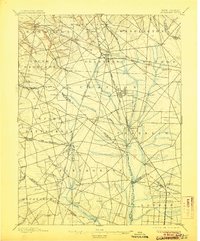
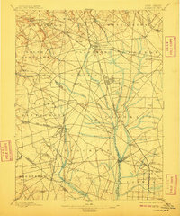
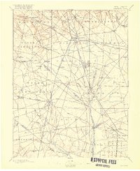
Editions of this 1898 Glassboro Map
6 editions found
Other maps of this area

1888 · Mount Holly
USGS Topo · 1:62,500

1890 · Hammonton
USGS Topo · 1:62,500

1890 · Salem
USGS Topo · 1:62,500

1890 · Tuckahoe
USGS Topo · 1:62,500

1890 · Bay Side
USGS Topo · 1:62,500

1890 · Bridgeton
USGS Topo · 1:62,500

1890 · Glassboro
USGS Topo · 1:62,500

1891 · Philadelphia
USGS Topo · 1:62,500

1893 · Tuckahoe
USGS Topo · 1:62,500

1894 · Bay Side
USGS Topo · 1:62,500