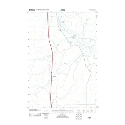
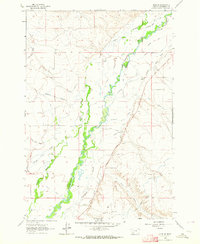
2011 Map of Glen
USGS Topo · Published 2011About this map
Big Hole River winds through the heart of this Beaverhead County landscape, defining the character of the valley floor alongside Stevens Slough and Black Slough. The settlement pattern is characterized by scattered ranching operations and small communities like Glen, Navy, and Apex. Family-named landmarks such as Mantle Ranch, Haining Ranch, and Selvo Ranch reflect the local agricultural heritage, while the Glen Mine in the northeast suggests the area's mineral interests.
Find a feature on this map
25 named features on this map. Tap any name to fly to it.
Don’t see what you’re looking for? This feature index may not catch every label — zoom into the map to look around manually.
Map Details
Editions of this 2011 Glen Map
This is the sole edition of this map. No revisions or reprints were ever made.
Other maps of this area
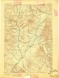
1893 · Dillon
USGS Topo · 1:250,000
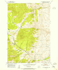
1952 · Twin Adams Mountain
USGS Topo · 1:24,000
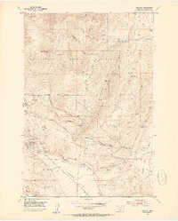
1952 · Argenta
USGS Topo · 1:24,000

1955 · Dillon
USGS Topo · 1:250,000

1957 · Dillon
USGS Topo · 1:250,000
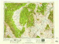
1958 · Dillon
USGS Topo · 1:250,000
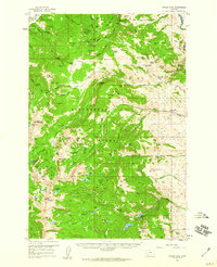
1958 · Vipond Park
USGS Topo · 1:62,500
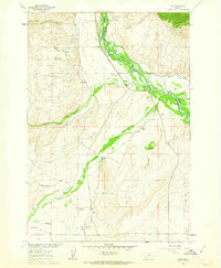
1960 · Glen
USGS Topo · 1:24,000
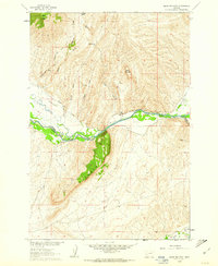
1960 · Block Mountain
USGS Topo · 1:24,000
1961 · Glen SE
USGS Topo · 1:24,000