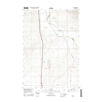
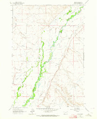
2014 Map of Glen
USGS Topo · Published 2014About this map
The Big Hole River winds through the heart of this Beaverhead and Madison County landscape, serving as a primary geographical anchor between the settlements of Glen and Navy. To the north, Timber Canyon cuts into the rising terrain, while the southern reaches are marked by the stop at Apex. The map documents a rural corridor tied together by MT Highway 91 N and the historic pathways of Burma Rd and Birch Creek Rd. Local family history is preserved in small burial sites such as Reichle Cem and Haining Cem, which are situated near seasonal watercourses like Willow Cr and Birch Cr. From the crossing at the Big Hole River Bridge to the natural flow of Young Springs and Warm Spring, the sheet details a high-plains environment where water sources dictated the placement of early ranching and transport nodes.
Find a feature on this map
28 named features on this map. Tap any name to fly to it.
Don’t see what you’re looking for? This feature index may not catch every label — zoom into the map to look around manually.
Map Details
Editions of this 2014 Glen Map
This is the sole edition of this map. No revisions or reprints were ever made.
Other maps of this area
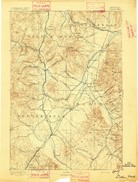
1893 · Dillon
USGS Topo · 1:250,000
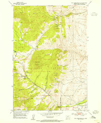
1952 · Twin Adams Mountain
USGS Topo · 1:24,000
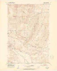
1952 · Argenta
USGS Topo · 1:24,000

1955 · Dillon
USGS Topo · 1:250,000

1957 · Dillon
USGS Topo · 1:250,000
1958 · Dillon
USGS Topo · 1:250,000
1958 · Vipond Park
USGS Topo · 1:62,500
1960 · Glen
USGS Topo · 1:24,000
1960 · Block Mountain
USGS Topo · 1:24,000
1961 · Glen SE
USGS Topo · 1:24,000