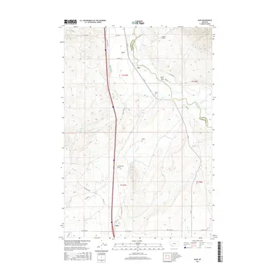
2017 Map of Glen
USGS Topo · Published 2017About this map
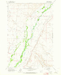
The Big Hole River winds through this section of the river valley, serving as a natural boundary between Beaverhead and Madison counties. The small settlement of Glen sits near the riverbank, anchored by the Big Hole River Bridge and the nearby Reichle Cem. This landscape is defined by the transition from the fertile river bottomlands to the rising slopes of Timber Canyon and Greenstone Gulch.
Find a feature on this map
39 named features on this map. Tap any name to fly to it.
Don’t see what you’re looking for? This feature index may not catch every label — zoom into the map to look around manually.
Map Details
Editions of this 2017 Glen Map
This is the sole edition of this map. No revisions or reprints were ever made.
Other maps of this area
1893 · Dillon
USGS Topo · 1:250,000
1952 · Twin Adams Mountain
USGS Topo · 1:24,000
1952 · Argenta
USGS Topo · 1:24,000

1955 · Dillon
USGS Topo · 1:250,000

1957 · Dillon
USGS Topo · 1:250,000
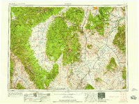
1958 · Dillon
USGS Topo · 1:250,000
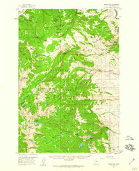
1958 · Vipond Park
USGS Topo · 1:62,500
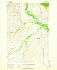
1960 · Glen
USGS Topo · 1:24,000
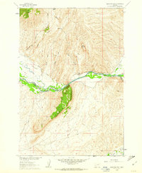
1960 · Block Mountain
USGS Topo · 1:24,000
1961 · Glen SE
USGS Topo · 1:24,000