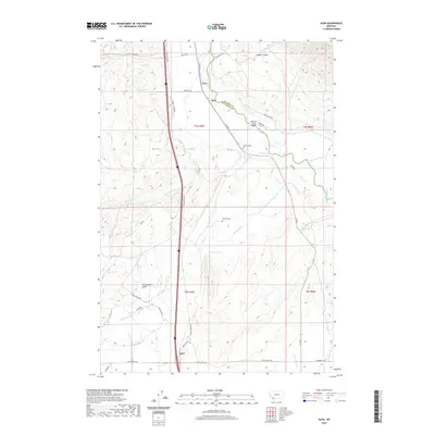
2020 Map of Glen
USGS Topo · Published 2020About this map
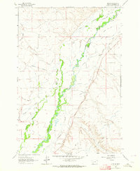
The Big Hole River winds through the heart of this landscape along the border of Madison and Beaverhead counties. The settlement of Glen serves as a central point in this ranching and agricultural region, where water management is critical to the local economy. An intricate system of irrigation, including the Mantle Ditch, S Channel Ditch, and Black Slough, underscores the reliance on seasonal flows from the surrounding highlands. This 2020 survey captures the area's rural character, marked by small communities like Navy and Apex. Family histories are preserved at the Reichle Cem near the river and the Haining Cem further south. Terrain features such as Timber Canyon and Greenstone Gulch define the western and northern horizons, while the Big Hole River Bridge provides a vital crossing for the area's network of secondary roads.
Find a feature on this map
39 named features on this map. Tap any name to fly to it.
Don’t see what you’re looking for? This feature index may not catch every label — zoom into the map to look around manually.
Map Details
Editions of this 2020 Glen Map
This is the sole edition of this map. No revisions or reprints were ever made.
Other maps of this area
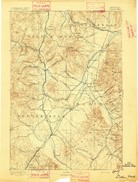
1893 · Dillon
USGS Topo · 1:250,000
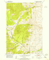
1952 · Twin Adams Mountain
USGS Topo · 1:24,000
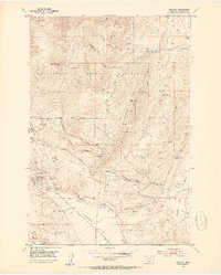
1952 · Argenta
USGS Topo · 1:24,000

1955 · Dillon
USGS Topo · 1:250,000

1957 · Dillon
USGS Topo · 1:250,000
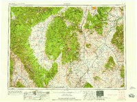
1958 · Dillon
USGS Topo · 1:250,000
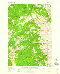
1958 · Vipond Park
USGS Topo · 1:62,500
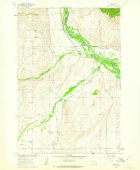
1960 · Glen
USGS Topo · 1:24,000
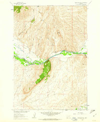
1960 · Block Mountain
USGS Topo · 1:24,000
1961 · Glen SE
USGS Topo · 1:24,000