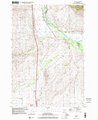
1997 Map of Glen
USGS Topo · Published 2002About this map
The Big Hole River carves through this southwest Montana landscape, marking the natural boundary between Beaverhead and Madison Counties. During the late 1990s, the rural character of the area remained defined by expansive ranching operations and localized irrigation networks. Traces of early 20th-century settlement appear in the form of rural education sites like Reichle Sch, Buhrer Sch, and Birch Creek Sch, while the Haining Cem offers a focal point for genealogical research near family landholdings such as Haining Ranch.
Find a feature on this map
35 named features on this map. Tap any name to fly to it.
Don’t see what you’re looking for? This feature index may not catch every label — zoom into the map to look around manually.
Map Details
Editions of this 1997 Glen Map
This is the sole edition of this map. No revisions or reprints were ever made.
Other maps of this area

1893 · Dillon
USGS Topo · 1:250,000

1952 · Twin Adams Mountain
USGS Topo · 1:24,000

1952 · Argenta
USGS Topo · 1:24,000

1955 · Dillon
USGS Topo · 1:250,000

1957 · Dillon
USGS Topo · 1:250,000

1958 · Dillon
USGS Topo · 1:250,000

1958 · Vipond Park
USGS Topo · 1:62,500

1960 · Glen
USGS Topo · 1:24,000

1960 · Block Mountain
USGS Topo · 1:24,000

1961 · Glen SE
USGS Topo · 1:24,000