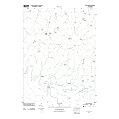
2011 Map of Glen Easton
USGS Topo · Published 2011About this map
Fish Creek and Grave Creek carve a complex system of ridges and hollows through this portion of Marshall County. The landscape is defined by its small, scattered settlements like Glen Easton and Rosbys Rock, linked by winding ridge roads such as Roberts Ridge St Joseph and Glen Easton Rd. For the local historian, the map preserves the locations of numerous family and community burial grounds, including the Rulong-Bartlett Cemetery and the Richmond Cemetery near Meighen. Evidence of the region’s industrial character is found at the McElroy Mine, while the cultural history of the terrain is reflected in distinctive place names like Sallys Backbone Ridge, Speakeasy Hollow, and the aptly named Seldom Seen Hollow.
Find a feature on this map
79 named features on this map. Tap any name to fly to it.
Don’t see what you’re looking for? This feature index may not catch every label — zoom into the map to look around manually.
Map Details
Editions of this 2011 Glen Easton Map
This is the sole edition of this map. No revisions or reprints were ever made.
Other maps of this area

1903 · Littleton
USGS Topo · 1:62,500

1904 · Cameron
USGS Topo · 1:62,500

1905 · Littleton
USGS Topo · 1:62,500

1905 · Clarington
USGS Topo · 1:62,500

1906 · New Martinsville
USGS Topo · 1:62,500

1924 · New Martinsville
USGS Topo · 1:62,500

1924 · Littleton
USGS Topo · 1:62,500

1926 · Littleton
USGS Topo · 1:62,500

1926 · New Martinsville
USGS Topo · 1:62,500

1935 · Cameron
USGS Topo · 1:62,500