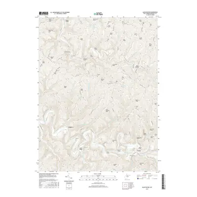
2016 Map of Glen Easton
USGS Topo · Published 2016About this map
Glen Easton sits at the nexus of the Marshall County ridge system, where deep-cut valleys and high fingers of land dictate the movement of roads and water. The landscape is defined by its complex drainage network, primarily directed by Grave Creek in the north and the winding course of Fish Creek to the south. Historically significant family names are etched into the terrain through numerous burial grounds like Rulong-Bartlett Cem and Richmond Cem, serving as critical touchstones for genealogical research in this part of West Virginia.
Find a feature on this map
108 named features on this map. Tap any name to fly to it.
Don’t see what you’re looking for? This feature index may not catch every label — zoom into the map to look around manually.
Map Details
Editions of this 2016 Glen Easton Map
This is the sole edition of this map. No revisions or reprints were ever made.
Other maps of this area

1903 · Littleton
USGS Topo · 1:62,500

1904 · Cameron
USGS Topo · 1:62,500

1905 · Littleton
USGS Topo · 1:62,500

1905 · Clarington
USGS Topo · 1:62,500

1906 · New Martinsville
USGS Topo · 1:62,500

1924 · New Martinsville
USGS Topo · 1:62,500

1924 · Littleton
USGS Topo · 1:62,500

1926 · Littleton
USGS Topo · 1:62,500

1926 · New Martinsville
USGS Topo · 1:62,500

1935 · Cameron
USGS Topo · 1:62,500