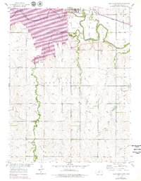
1953 Map of Glen Elder South
USGS Topo · Published 1979About this map
The Solomon River corridor defines this Mitchell County landscape, where the construction of the Glen Elder Dam transformed the valley. The expansive Waconda Lake now covers much of the northern terrain, but this survey captures the underlying structure of the region just as the reservoir began to alter the local geography. To the north, the town of Glen Elder sits adjacent to the Missouri Pacific railroad line, a vital transportation link that follows the river's path through the plains.
Find a feature on this map
24 named features on this map. Tap any name to fly to it.
Don’t see what you’re looking for? This feature index may not catch every label — zoom into the map to look around manually.
Map Details
Editions of this 1953 Glen Elder South Map
3 editions found
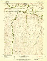
Other maps of this area

1894 · Mankato
USGS Topo · 1:125,000

1894 · Beloit
USGS Topo · 1:125,000

1953 · Solomon Rapids
USGS Topo · 1:24,000

1953 · Waconda Springs
USGS Topo · 1:24,000

1953 · Glen Elder South
USGS Topo · 1:24,000

1955 · Beloit
USGS Topo · 1:250,000

1959 · Beloit
USGS Topo · 1:250,000

1962 · Cawker City
USGS Topo · 1:24,000

1962 · Glen Elder North
USGS Topo · 1:24,000

1962 · Jewell SW
USGS Topo · 1:24,000