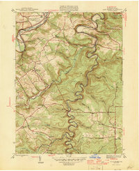
1946 Map of Glen Richey
USGS Topo · Published 1946About this map
Clearfield Creek and the West Branch of the Susquehanna River carve through this section of the Allegheny Plateau, defining a landscape shaped by narrow valleys and coal-era settlements. In the years following World War II, this region of Clearfield County remained a patchwork of small mining and farming communities like Glen Richey, Oshanter, and Boardman. The topography is marked by significant elevations such as Clover Hill and Mount Hope, while The Narrows indicates the restricted passage of the river through the hills.
Find a feature on this map
51 named features on this map. Tap any name to fly to it.
Don’t see what you’re looking for? This feature index may not catch every label — zoom into the map to look around manually.
Map Details
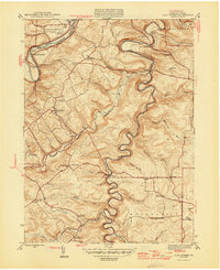
Editions of this 1946 Glen Richey Map
2 editions found
Other maps of this area

1903 · Curwensville
USGS Topo · 1:62,500

1903 · Houtzdale
USGS Topo · 1:62,500

1905 · Houtzdale
USGS Topo · 1:62,500

1929 · Clearfield
USGS Topo · 1:48,000

1929 · Penfield
USGS Topo · 1:62,500

1932 · Clearfield
USGS Topo · 1:62,500

1932 · Penfield
USGS Topo · 1:62,500

1939 · Curwensville
USGS Topo · 1:62,500

1942 · Curwensville
USGS Topo · 1:62,500

1943 · Punxsutawney
USGS Topo · 1:125,000