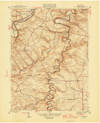
1946 Map of Glen Richey
USGS Topo · Published 1946About this map
Clearfield Creek carves a deeply winding path through the center of this 1946 landscape, meeting the West Branch Susquehanna River near the northern edge of the sheet. The settlement of Glen Richey and neighboring Oshanter occupy the uplands west of the creek, served by a network of rural schools including Evergreen Sch and Turkey Hill Sch. The terrain is marked by traditional ridge-and-valley industry and infrastructure, with the Pennsylvania and B & O railroads following the river and creek valleys to navigate the relief. Local history is anchored by several rural landmarks, from the Mt Zion Ch to a series of community burial grounds like Stoneville Cem and Thompson Cem. The mapping shows the transition from the riverside facilities of the Clearfield and Curwensville Country Club to the timbered heights around the Fire Tower near Faunce.
Find a feature on this map
53 named features on this map. Tap any name to fly to it.
Don’t see what you’re looking for? This feature index may not catch every label — zoom into the map to look around manually.
Map Details
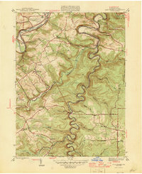
Editions of this 1946 Glen Richey Map
2 editions found
Other maps of this area

1903 · Curwensville
USGS Topo · 1:62,500

1903 · Houtzdale
USGS Topo · 1:62,500

1905 · Houtzdale
USGS Topo · 1:62,500

1929 · Clearfield
USGS Topo · 1:48,000

1929 · Penfield
USGS Topo · 1:62,500

1932 · Clearfield
USGS Topo · 1:62,500

1932 · Penfield
USGS Topo · 1:62,500

1939 · Curwensville
USGS Topo · 1:62,500

1942 · Curwensville
USGS Topo · 1:62,500

1943 · Punxsutawney
USGS Topo · 1:125,000