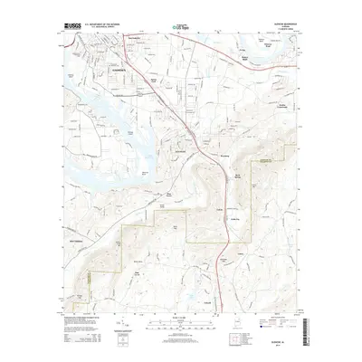
2014 Map of Glencoe
USGS Topo · Published 2014About this map
The Coosa River forms a massive series of switchback bends across this part of Etowah County, creating distinctive landforms like Tidmore Bend and Whorton Bend. South of East Gadsden, the landscape transitions into the residential and industrial corridors of Glencoe and Gadsden. A significant geographical feature is Keeling Island, situated within H Neely Henry Lake, which marks the widening of the river system.
Find a feature on this map
204 named features on this map. Tap any name to fly to it.
Don’t see what you’re looking for? This feature index may not catch every label — zoom into the map to look around manually.
Map Details
Editions of this 2014 Glencoe Map
This is the sole edition of this map. No revisions or reprints were ever made.
Other maps of this area

1885 · Gadsden
USGS Topo · 1:125,000

1888 · Gadsden
USGS Topo · 1:125,000

1889 · Springville
USGS Topo · 1:125,000

1892 · Springville
USGS Topo · 1:125,000

1892 · Gadsden
USGS Topo · 1:125,000

1893 · Fort Payne
USGS Topo · 1:125,000

1895 · Gadsden
USGS Topo · 1:125,000

1898 · Fort Payne
USGS Topo · 1:125,000

1900 · Fort Payne
USGS Topo · 1:125,000

1900 · Anniston
USGS Topo · 1:125,000