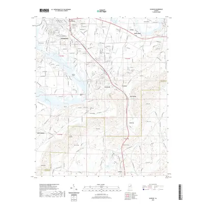
2020 Map of Glencoe
USGS Topo · Published 2020About this map
The Coosa River anchors this section of northeast Alabama, where it bends around Tidmore Bend and Keeling Bend near the industrial and residential corridors of Gadsden. The landscape is defined by the contrast between the river’s broad curves—including the waters of H-Neely Henry Lake—and the sharp, northeast-to-southwest ridges of Colvin Mtn and Greens Creek Mtn. These geological formations dictate the placement of mountain gaps like Davis Gap and Alexander Gap, which have historically funneled transportation and settlement patterns.
Find a feature on this map
225 named features on this map. Tap any name to fly to it.
Don’t see what you’re looking for? This feature index may not catch every label — zoom into the map to look around manually.
Map Details
Editions of this 2020 Glencoe Map
This is the sole edition of this map. No revisions or reprints were ever made.
Other maps of this area

1885 · Gadsden
USGS Topo · 1:125,000

1888 · Gadsden
USGS Topo · 1:125,000

1889 · Springville
USGS Topo · 1:125,000

1892 · Springville
USGS Topo · 1:125,000

1892 · Gadsden
USGS Topo · 1:125,000

1893 · Fort Payne
USGS Topo · 1:125,000

1895 · Gadsden
USGS Topo · 1:125,000

1898 · Fort Payne
USGS Topo · 1:125,000

1900 · Fort Payne
USGS Topo · 1:125,000

1900 · Anniston
USGS Topo · 1:125,000